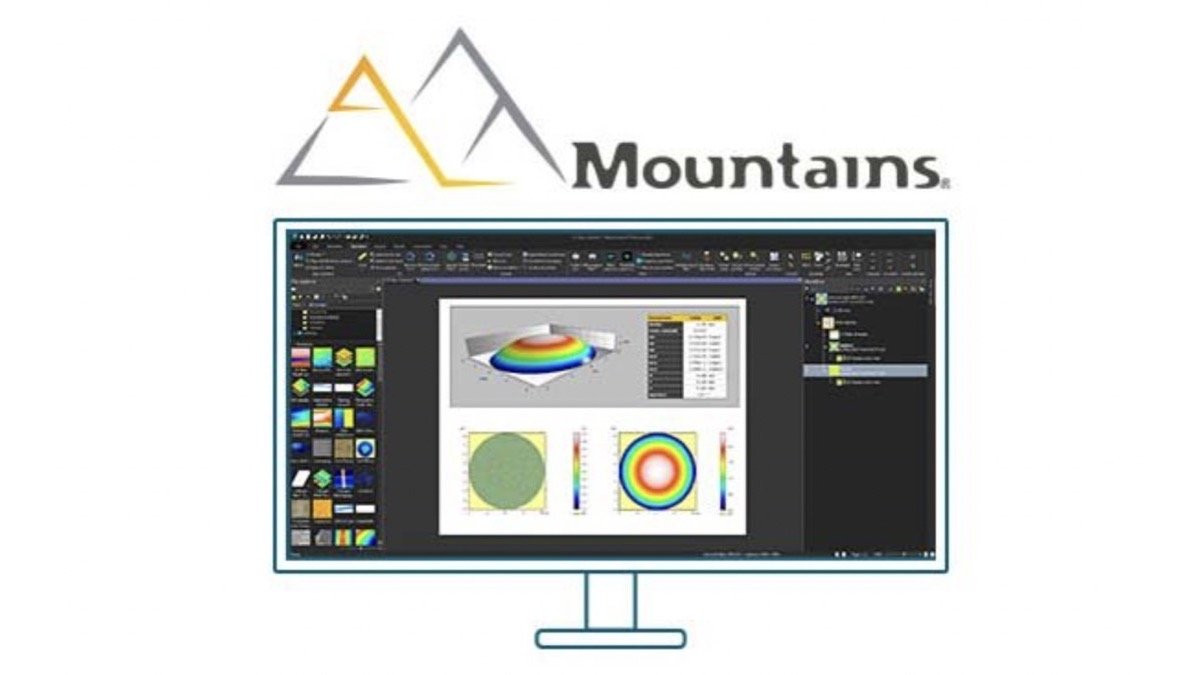
MountainsMap® software is the number #1 choice for engineers, scientists, and metrologists worldwide, thanks to its unparalleled capabilities in 2D and 3D surface texture analysis and metrology. Trusted by thousands, it seamlessly integrates with profilometers and other surface measuring equipment, setting the gold standard in the industry.
Generate visual representations and perform corrections and analyses on profiles and surfaces – Apply ISO 16610 to filter roughness and waviness – Compute ISO profile and areal parameters – Utilize advanced tools such as Fourier analysis, particle analysis, step height measurements, form fitting, wavelet filters and fractal analysis to obtain functional and metrological information from your measured data.
Digital Surf was founded in 1989 by two French engineers who shared a passion for surface analysis.
With over 20,000 users across the globe, Mountains® software has established itself as the industry benchmark for surface and image analysis among engineers, scientists, and researchers. The software is comprised of five distinct product families, each tailored to provide specialized solutions for profilometry, electron microscopy, scanning probe microscopy, spectroscopy and users working with multiple instruments.

This is MountainsMap® for use with profilers. If you also have other microscopes in your lab then you could consider the more comprehensive MountainsLab® which can be used for a broader range of analysis instruments. Contact us to discuss if you are not sure and remember you can download a demo to find out how the software can work for you.
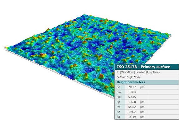
Roughness and ISO parameters
Use advanced filtering techniques compliant with ISO 16610 to seperate roughness and waviness components of surfaces.
Perform roughness analysis and calculate surface texture parameters:
Access ASME B46.1 2D and 3D parameters (USA), GB/T (China), DIN (Germany), JIS (Japan), NF (France), BSI (UK), UNE (Spain) and UNI (Italy) etc.
Carry out functional analysis:
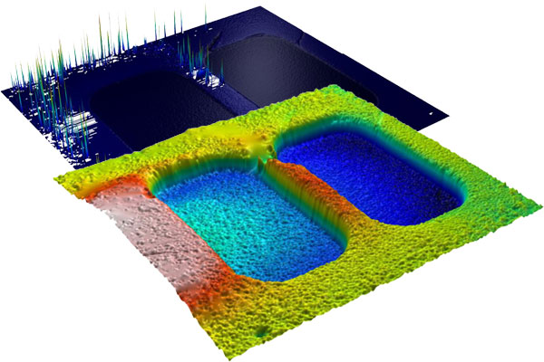
Data Correction
Get your measured data ready for analysis and eliminate outliers, local defects, and noise using a variety of tools, such as:
Surface Geometry
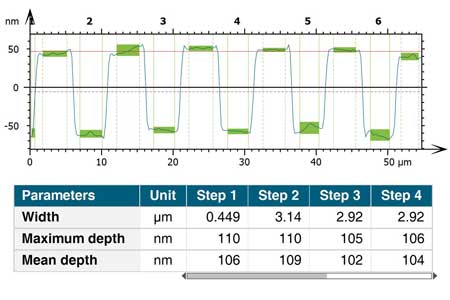
Analyse surface geometry efficiently and precisely using our suite of measurement tools, which includes:
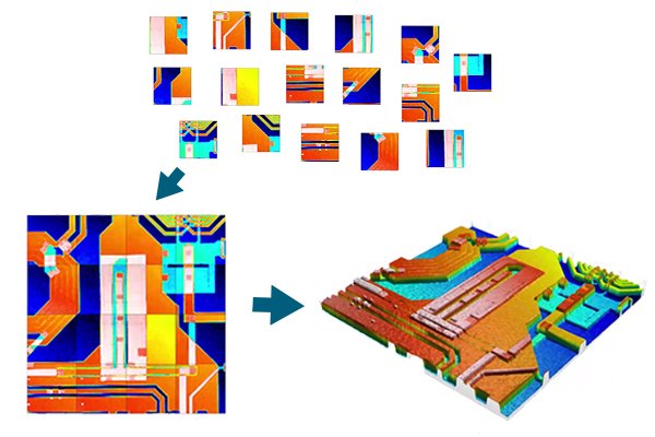
Surface Stitching
Sub-surface Analysis
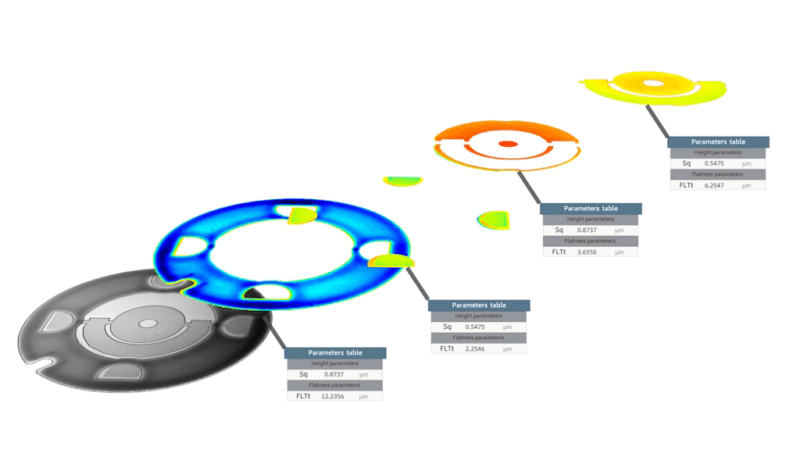
After a sub-surface or region of interest has been extracted, it can be analysed using the same parameters as on full surfaces. This allows for detailed analysis of specific features, such as roughness, flatness, and coplanarity of planes on mechanical, electronic, and MEMS components.
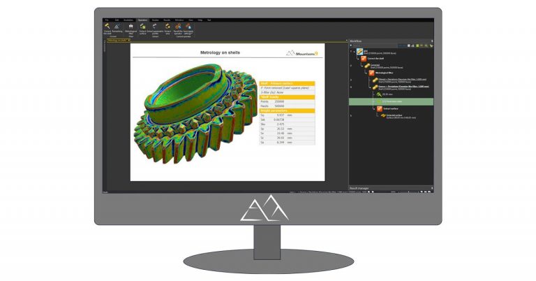
Shell analysis (freeform surfaces)
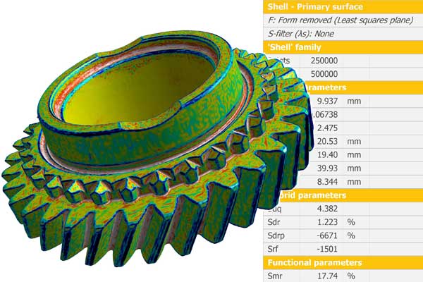
Visualize and analyse shells:
Carry out metrological studies on shells:
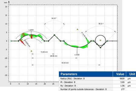
Advanced Contour Analysis
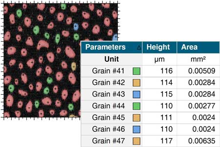
Particle Analysis and More
Particle analysis:
Fourier & wavelets analysis
4D analysis
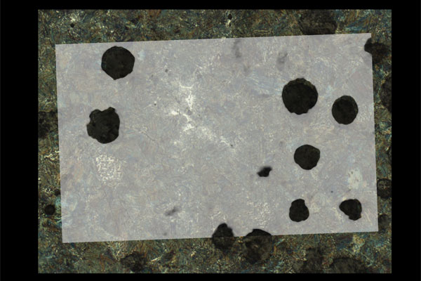
Correlative Analysis
Left: colocalization of an SEM image and an optical microscope image.
Besides the analysis capabilities in the core version of MountainsMap® are a variety of optional modules that allow the user to extend the analysis capability of the software for advanced and specialised applications.
These include:
Please download a free trial of Mountains® using the download link below. This will allow you to download Mountains® for an initial period of 3 days after which you will be able to extend for a further 30 days.
As well as the free demo we are offering a special discount should you decide to purchase a Mountains® license through Mi-Net before the end of August 2023.
To qualify for the discount you must download Mountains® using the link on this page. The discount is for our launch with Digital Surf and only available until the end of August 2023 so please contact us now for more information.
Resources related to the Digital Surf MountainsMap® software

We’re here and ready to provide information and answers to your questions
©Mi-Net 2023. All Rights Reserved.
Website by Fifteen.co.uk